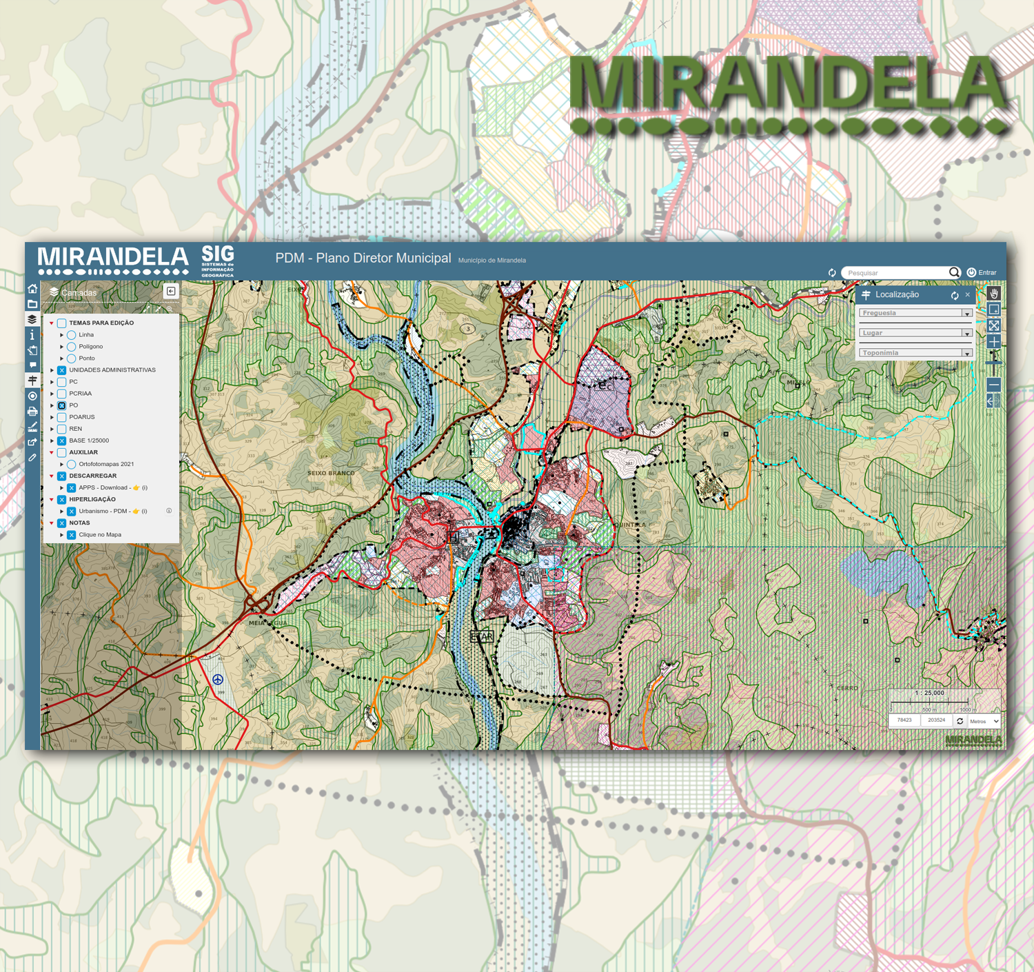
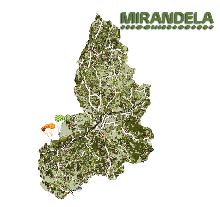
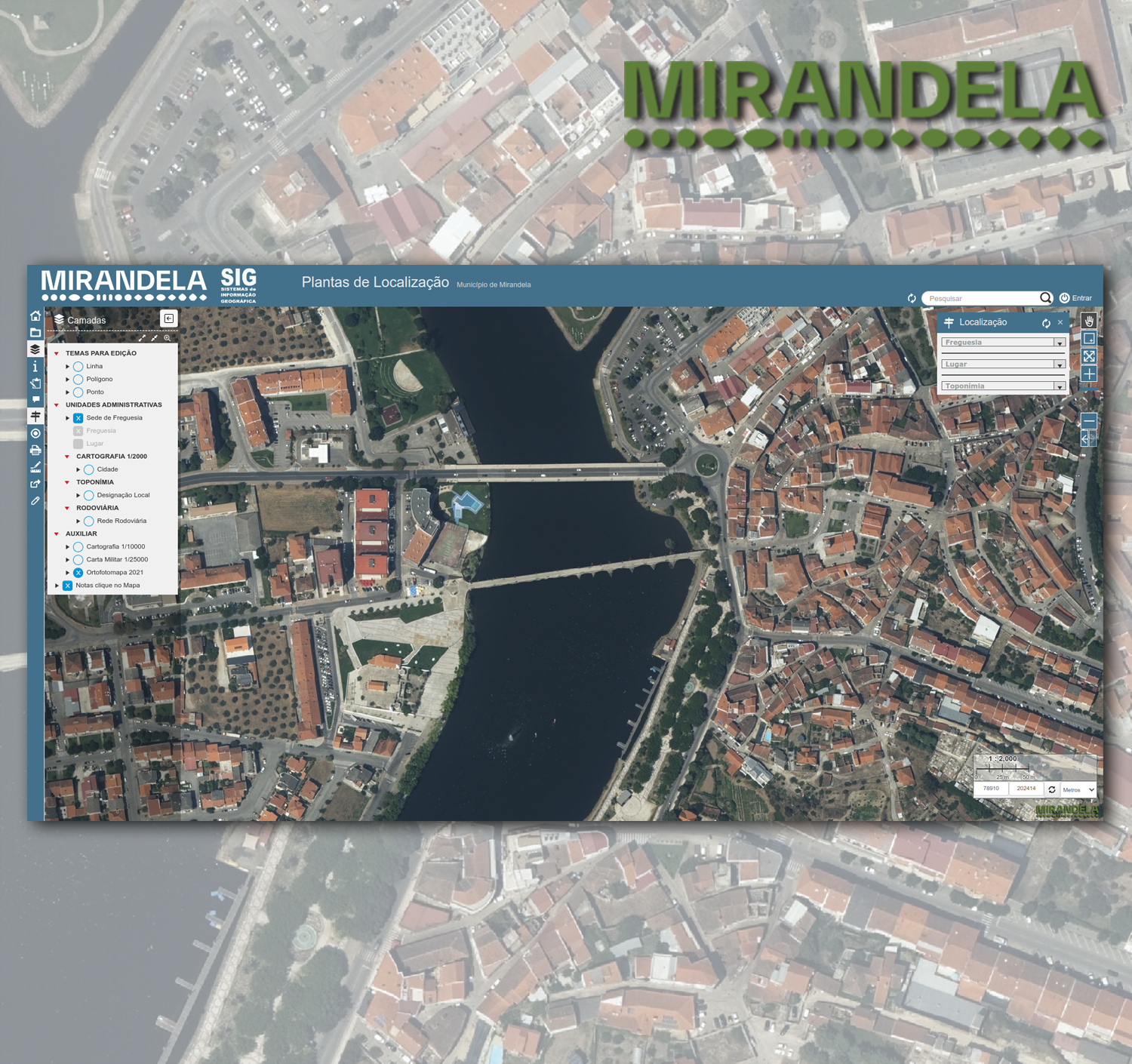
PDM | Emissão de Plantas de Localização
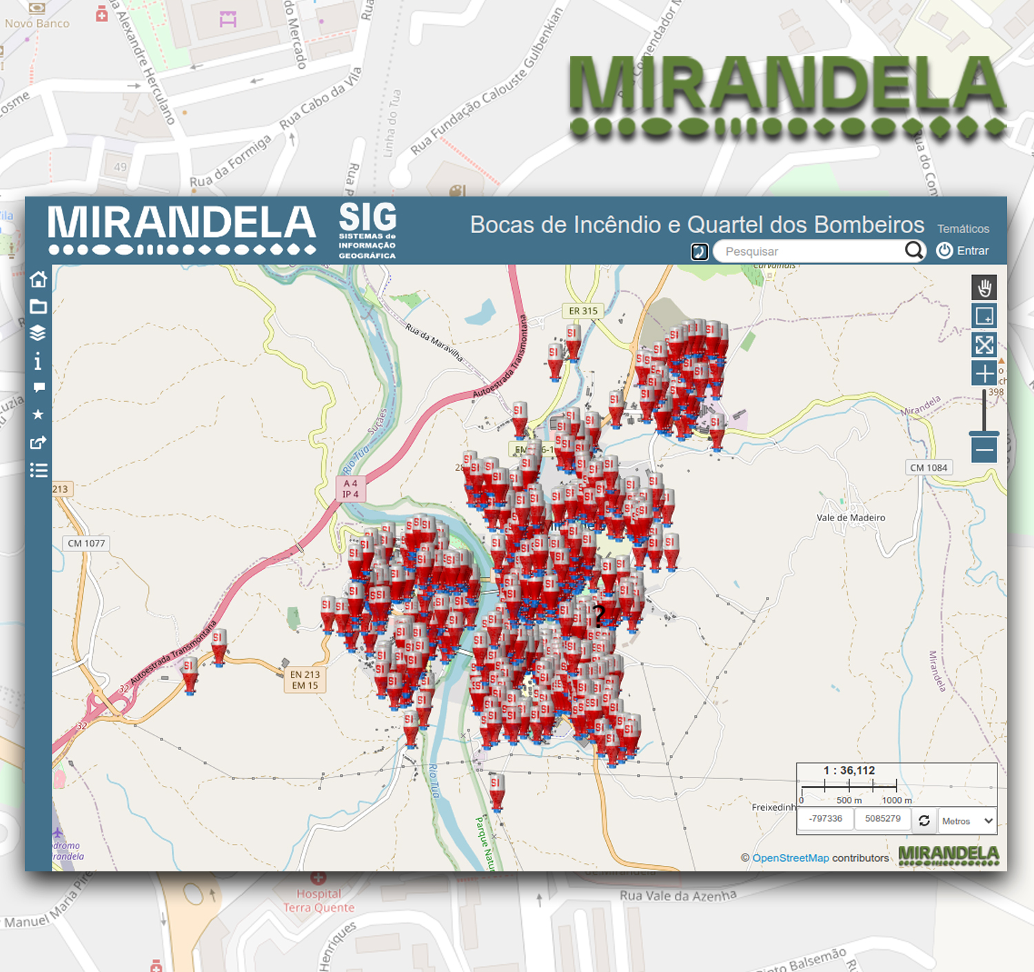
Temáticos

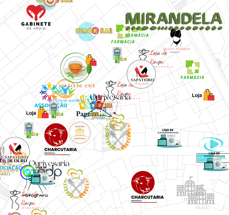


Base Layer
- Title
- Plantas de Localização
- Description
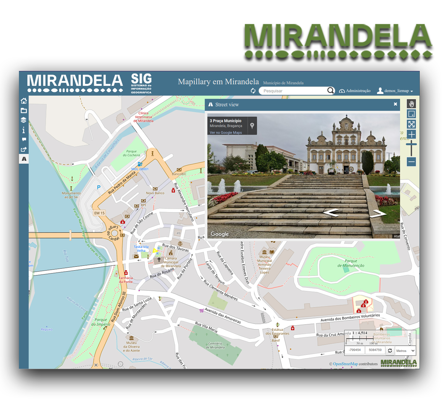
- Permite emitir plantas de localização, utilizando cartografia oficial
(Ortofotomapas 2018, Cartas Militares 1/25000 e Cartografia 1/10000).
Nota1:
Conforme a pretensão, deve-se ligar e ou desligar os temas para que possam
ser visiveis na impressão. O ícone referente à impressão, gera um ficheiro PDF
que pode servir para visualização, ser guardado no computador ou ser impresso.
''Imprima em papel só se for necessário''
Nota2:
Depois de desenhar no mapa a sua pretensão, "Polígono",
"Ponto" e ou "linha", ter efetuado a impressão do ou
dos "Layouts", as geometrias devem ser apagadas.
Obrigado.
Description:
It allows to emit location plants, using official cartography
(orthophotomaps 2021, military charter 1/25000 and cartography 1/10000).
Note1:
As intended, you should turn on and or turn off the themes so that they can be
visible in the print. The print icon generates a PDF file that can be viewed, saved
to the computer or printed. 'Print on paper only if necessary''
Note2:
After drawing on the map his claim, "Polygon",
"Dot" and or "line" have made the printing of the or
of the "Layouts", the geometries must be erased.
Thank you. - Organization
- Câmara Municipal de Mirandela
- Person
- Orlando Bernardo
- orlando.bernardo (at) cm-mirandela.pt
- Phone
- +351 278 200 200
- Website
- https://www.cm-mirandela.pt/pages/547
- Projection
- EPSG:3763
- Extent
- 62466.47280000000318978, 184134.64139999999315478, 93279.28079999999317806, 229086.30739999999059364