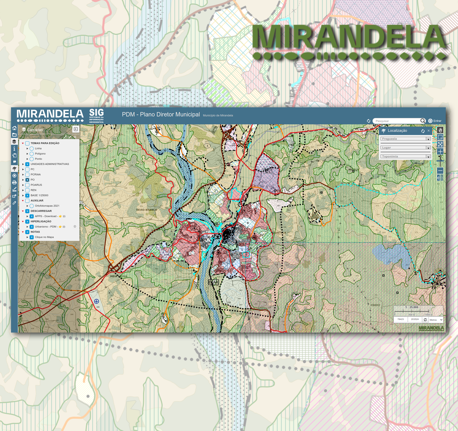
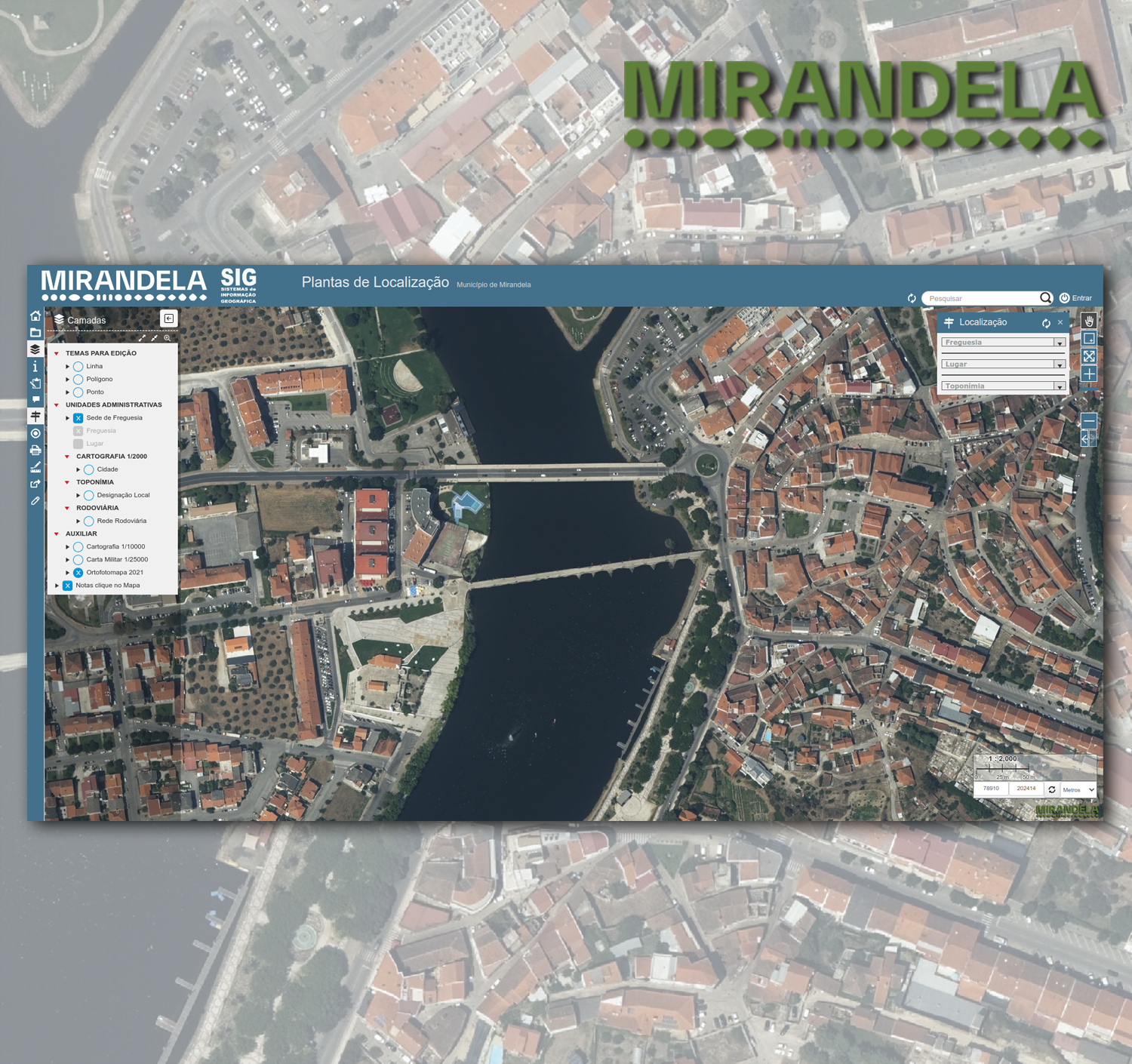
PDM | Emissão de Plantas de Localização
Temáticos


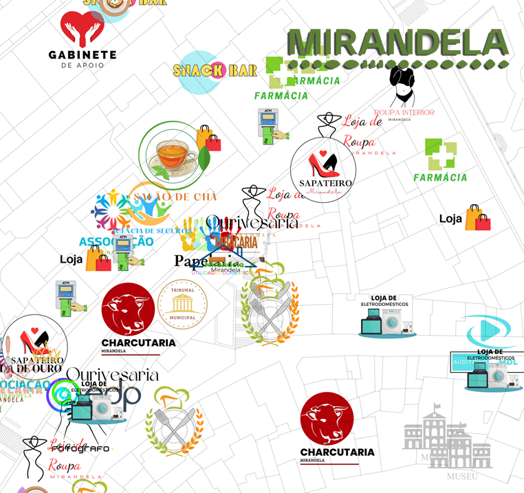


Base Layer
- Title
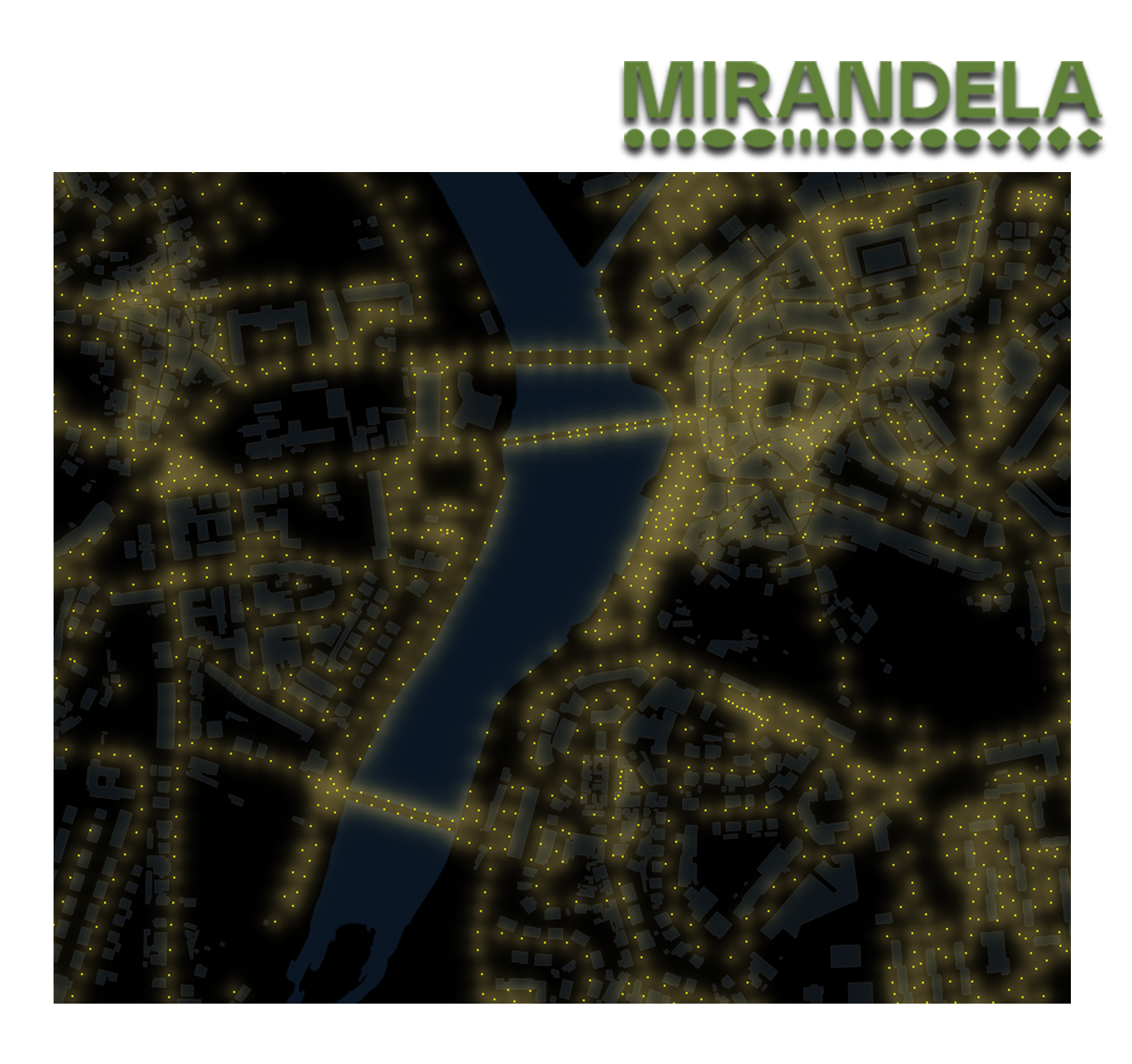
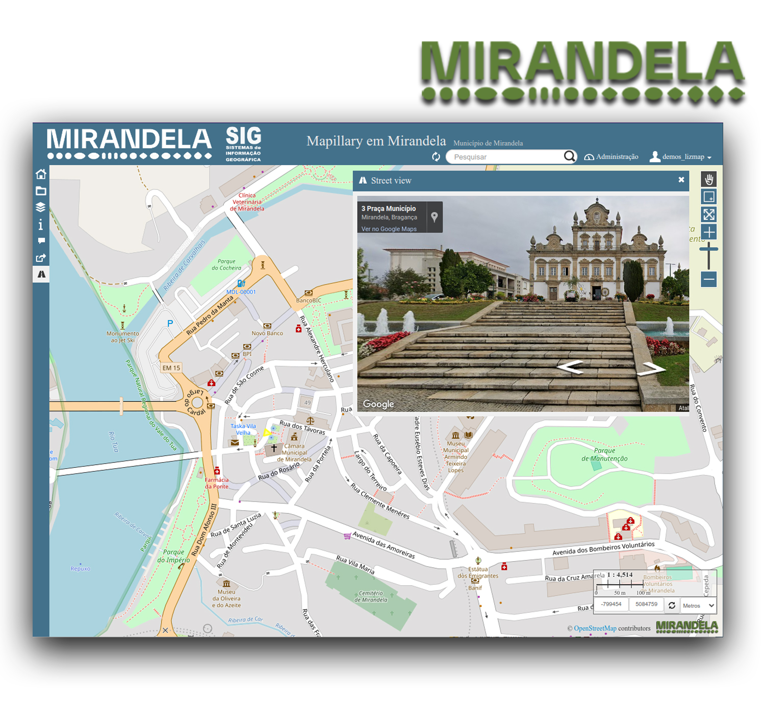
- Mapillary em Mirandela
- Description
- *** Street View ***
Este projeto disponibiliza uma nova ferramenta, que permite clicar no mapa e obter acesso
a fotografias, das ruas de Mirandela, disponibilizadas pelo serviço da Google.
This project provides a new tool, which allows you to click on the map and get access
photographs of the streets of Mirandela, provided by Google service.
Para aceder às fotografias das ruas de Mirandela, clique no último ícone "Street View"
da Tabela de Conteúdos, situada no lado esquerdo do monitor.
To access the photographs of the streets of Mirandela, click on the last icon "Street View"
of the Table of Contents, located on the left side of the monitor.
*** Mapillary ***
Para começar, carregue na camada azul que aparece.
A vista de rua irá aparecer correspondente à coordenada do símbolo da seta no mapa.
To start click on the blue layer appearing.
Street view will appear corresponding to the coordinate of the arrow symbol on the map.
Serviço de partilha de fotografias georreferenciadas.
Service for sharing geotagged photos.
*** Street View ***
Este projeto disponibiliza uma nova ferramenta, que permite clicar no mapa e obter acesso
a fotografias, das ruas de Mirandela, disponibilizadas pelo serviço da Google.
This project provides a new tool, which allows you to click on the map and get access
photographs of the streets of Mirandela, provided by Google service.
Para aceder às fotografias das ruas de Mirandela, clique no último ícone "Street View"
da Tabela de Conteúdos, situada no lado esquerdo do monitor.
To access the photographs of the streets of Mirandela, click on the last icon "Street View"
of the Table of Contents, located on the left side of the monitor.
- Organization
- Município de Mirandela
- Person
- Orlando Bernardo
- orlando.bernardo (at) cm-mirandela.pt
- Phone
- +351 278 200 200
- Projection
- EPSG:3857
- Extent
- -804291.61650000000372529, 5082175.95509999990463257, -795086.35690000001341105, 5087151.60020000021904707